5.7 km · 485 m ascent
Route Llwybr
The 2026 race starts at the bottom of Church Lane, Llanfoist.
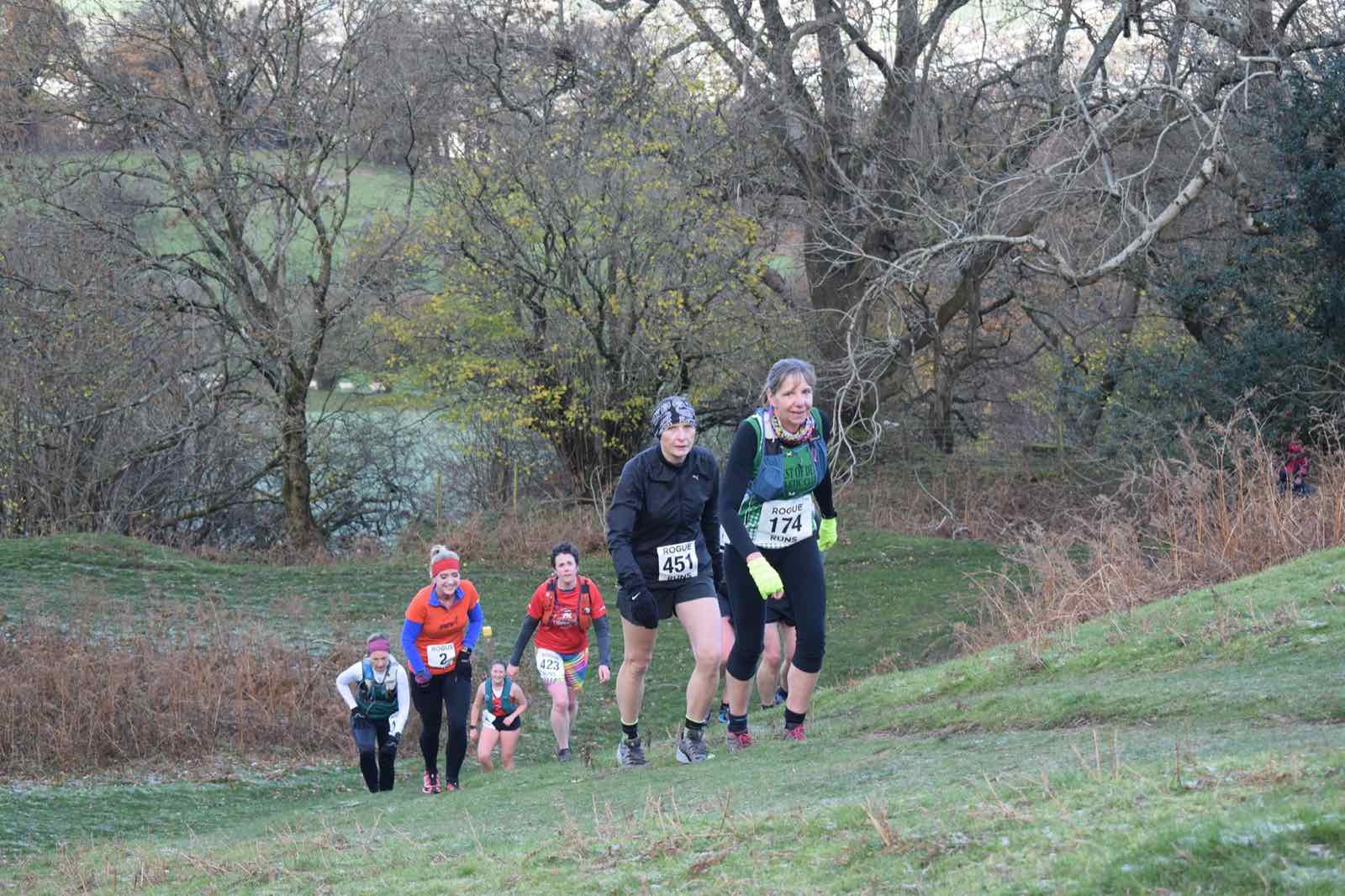
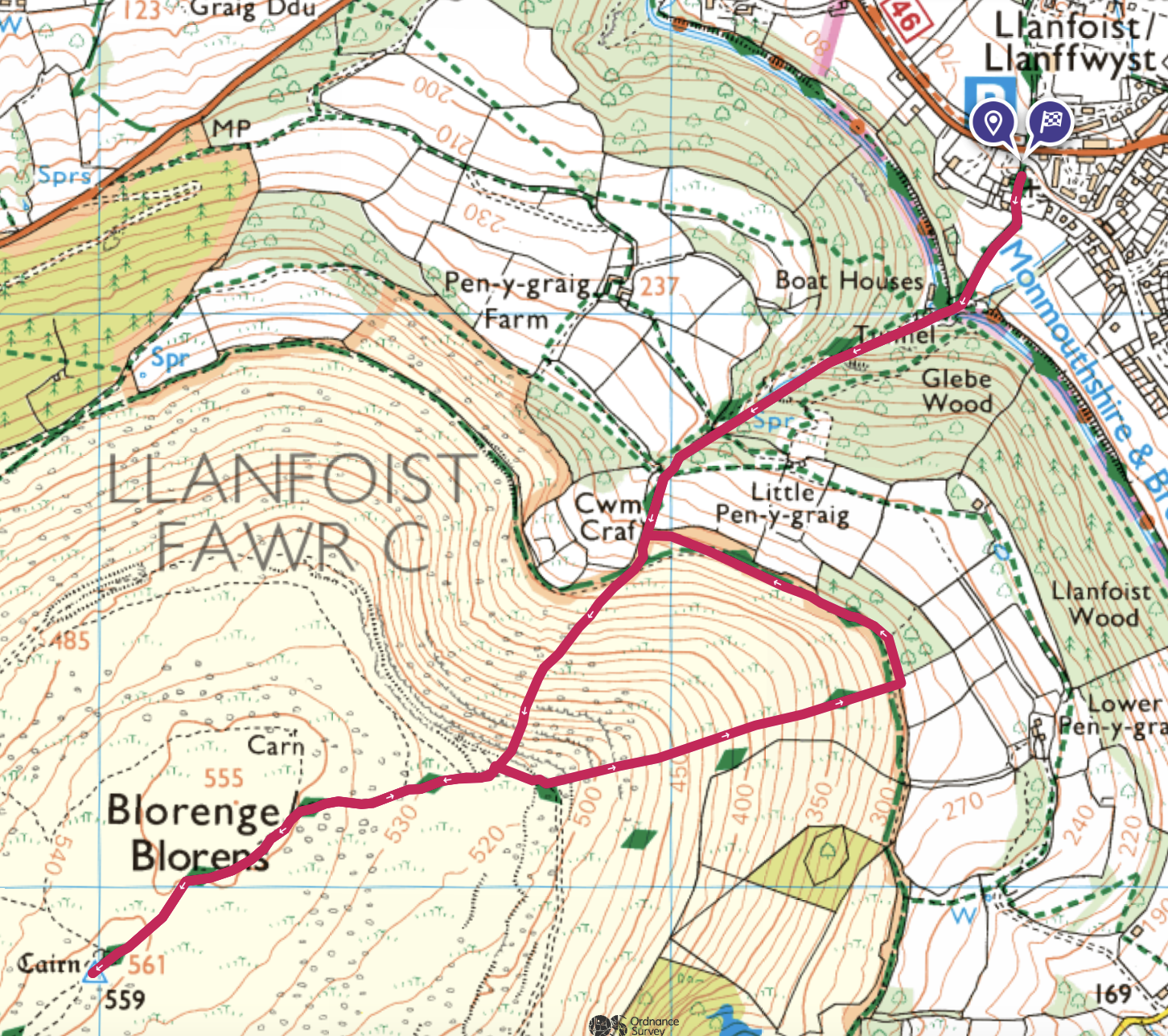
Confirmed 2026 route: 5.7 km with 485 m ascent, starting and finishing at the bottom of Church Lane, Llanfoist.
Interactive route
Explore the course
The route starts and finishes at the bottom of Church Lane, Llanfoist, climbs to the Blorenge trig point and returns by the established course. Direction arrows show the way around the course. Pan or zoom the map for visual orientation.
Loading the interactive route map…
Route guide
Seven parts of the route
-
The start
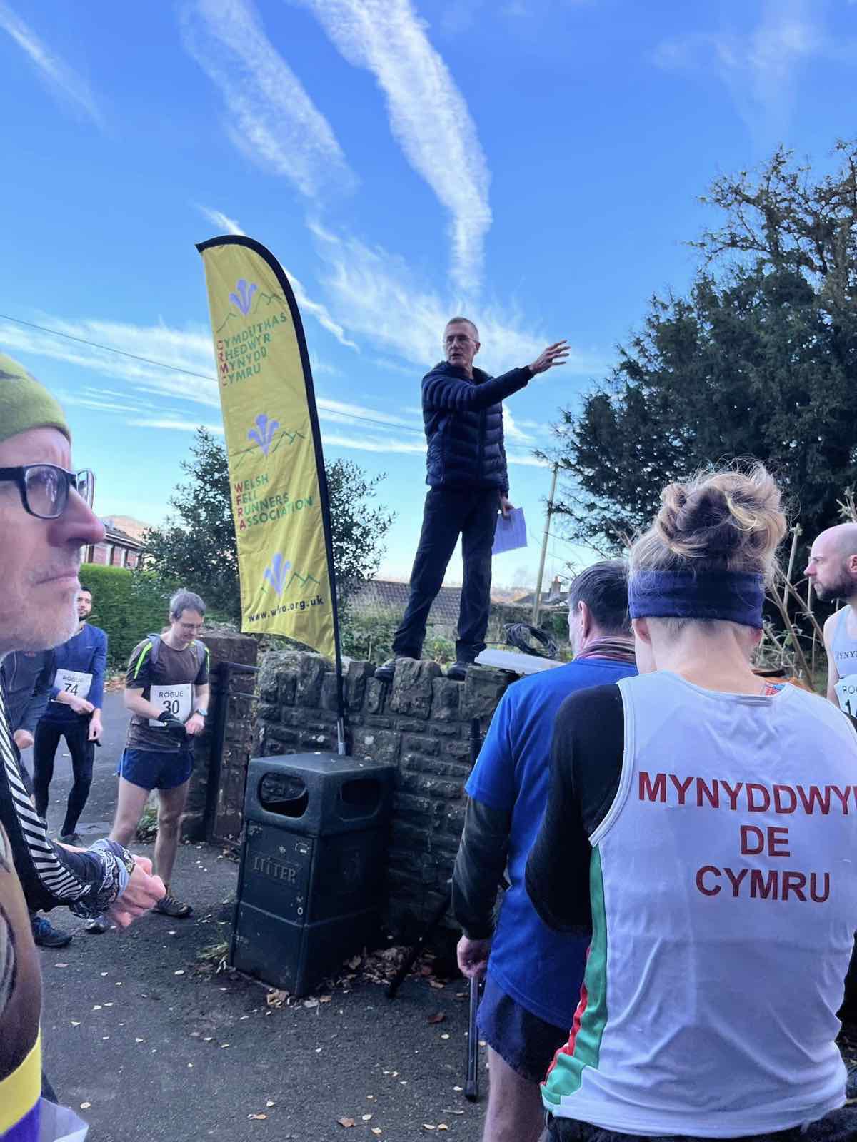
Y cychwynGather at the bottom of Church Lane for the briefing before the race heads towards the lower woodland.
-
The tunnel
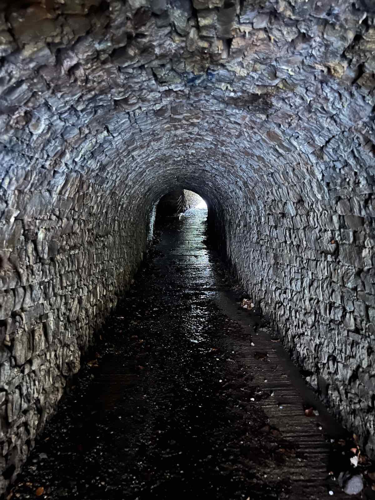
Y twnnelPass through the short stone tunnel where the ground is often wet and the light changes quickly.
-
The incline
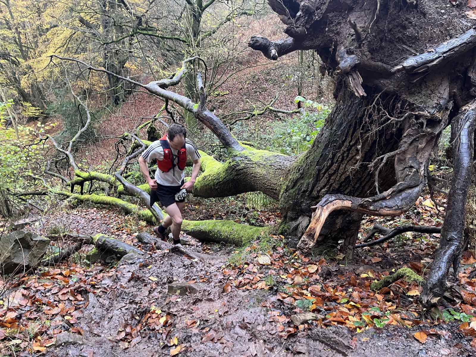
Yr esgyniadRoots, rocks, mud and fallen timber make this wooded incline a demanding part of the climb.
-
The scramble
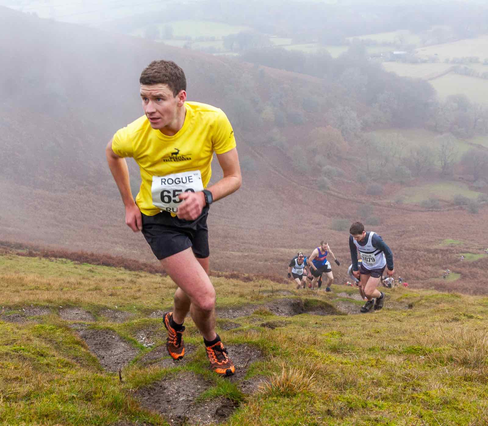
Y rhan serthThe route turns sharply uphill for a steep, physical scramble towards the open slopes of the Blorenge.
-
The trig
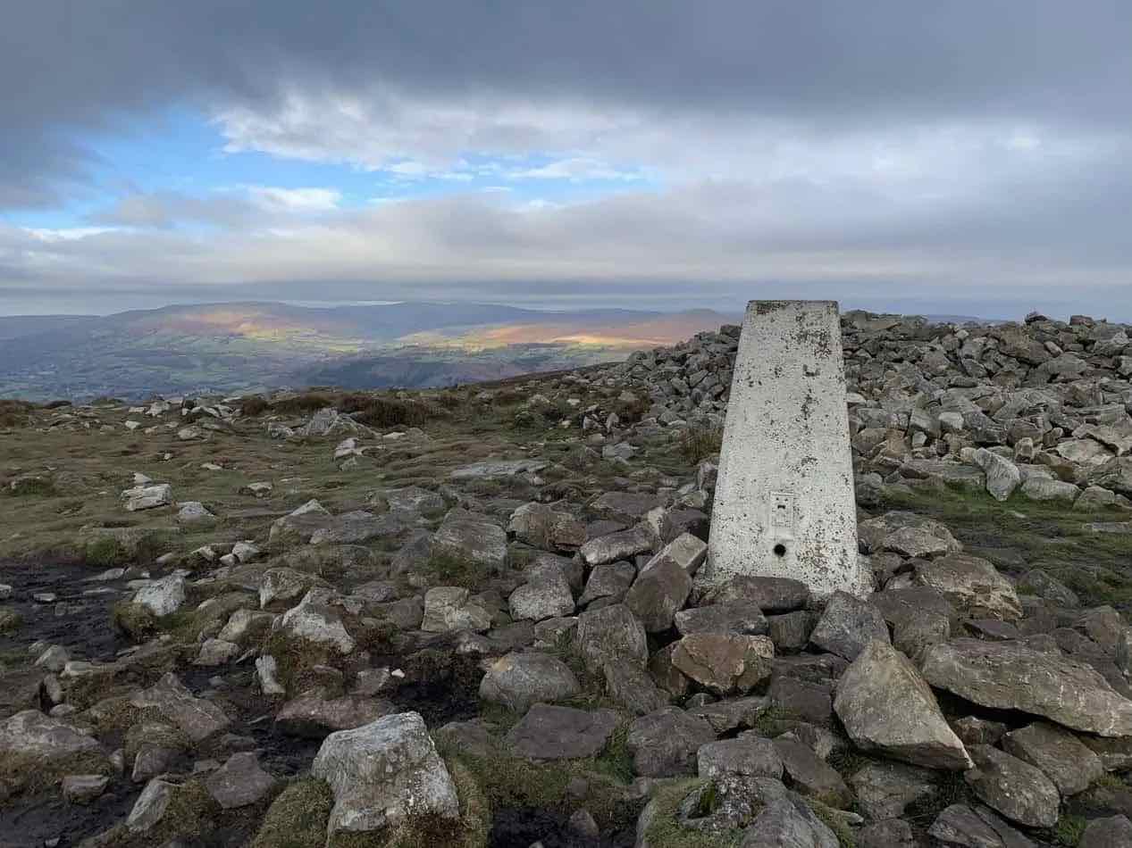
Y trigReach the Blorenge trig point, turn for home and prepare for the fast return from the summit.
-
The muddy descent
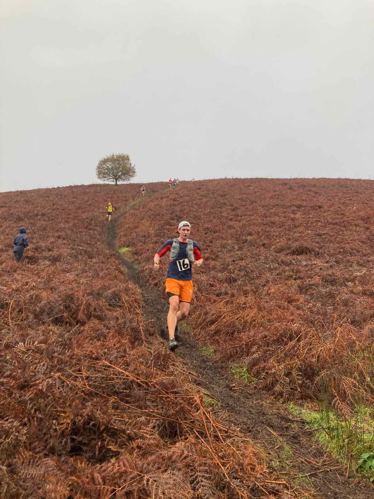
Y disgyniad mwdlydThe return steepens on wet, uneven ground where dependable grip and careful foot placement matter.
-
The final decline
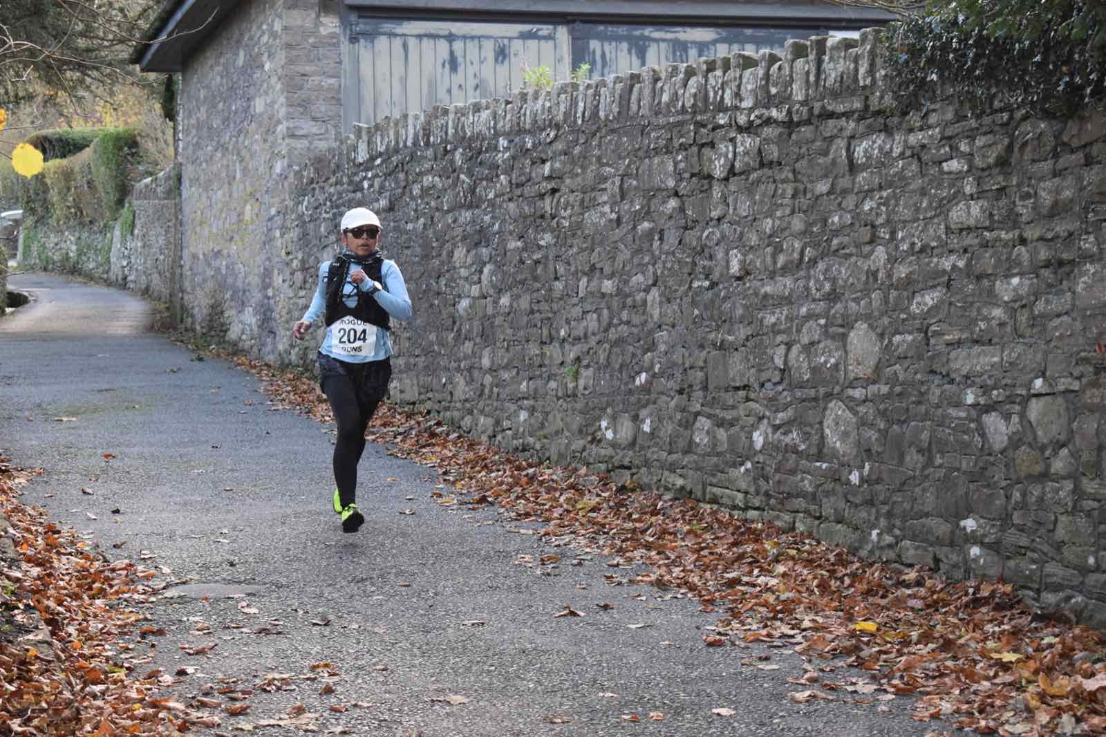
Y llethr olafThe gradient eases onto the lane for the final downhill run back towards the finish on Church Lane.
2026 route documents
The GPX is provided to help runners familiarise themselves with the route. Fell-race navigation should be undertaken using a map and compass; do not rely on a phone, GPS watch or digital map showing your live position.